See Your City's Climate Weak Points Before They Fail
Urban Resilience AI equips city planners with hyperlocal climate analytics, predictive scenario modeling, and stakeholder-ready reports to build future-proof infrastructure.
Live hazard layer
Composite risk
Illustrative heatmap for demo geography
Flood + heat stress
Block scale
Pan and zoom to explore the urban mesh
Platform reach
—
Cities in active pilots
—
Hazard layers
—
Model refresh cadence
Why Urban Resilience Fails Today
Traditional climate planning is broken, reactive, and disconnected from the real world.
Outdated PDFs
Static reports that are obsolete the moment they're printed.
Fragmented Data
Siloed information across departments with zero interoperability.
Manual Analysis
Months of human labor for analysis that should take seconds.
Reactive Decisions
Reacting to catastrophes rather than preventing them.
Solutions built for how cities actually work
From pilot corridors to enterprise rollouts, Urban Resilience AI connects science, finance, and storytelling in a single workflow.
Unified hazard intelligence
Flood, heat, wind, and infrastructure strain in one operational view so departments stop reconciling conflicting spreadsheets.
Investment-grade scenarios
Stress-test interventions against budget envelopes and timelines before capital plans reach council or bond markets.
Grant-ready evidence
Structured narratives, compliance checkpoints, and partner suggestions aligned to major federal programs.
Public trust by design
Dashboards and summaries built for residents, councils, and agencies—clear enough for hearings, rigorous enough for engineers.
Where cities moved from insight to action
Representative outcomes from deployments that combined block-level analytics with executive-ready reporting.
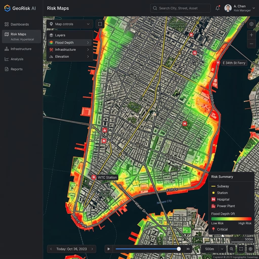
Coastal metro pilot
Prioritized grey–green mix across three flood corridors; shortened grant narrative cycle by several weeks.
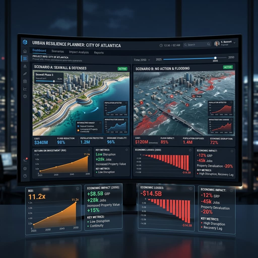
Inland heat belt
Mapped urban heat islands against transit-dependent populations to target cooling investments.
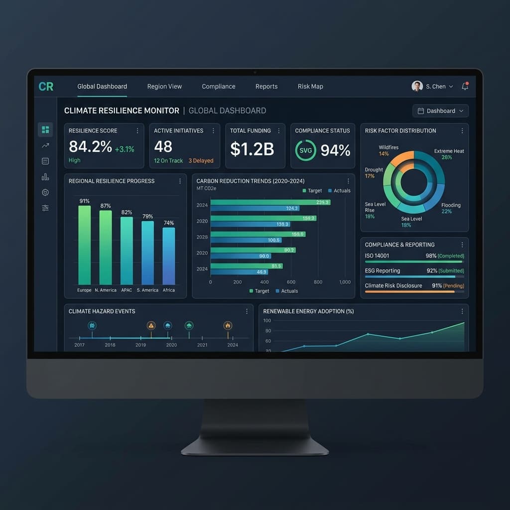
Regional resilience network
Synchronized hazard layers across four municipalities for shared procurement and mutual aid planning.
Generate a City Risk Preview
See how Urban Resilience AI analyzes city-specific characteristics to provide immediate actionable insights.
Fill in your city details to generate a personalized climate risk analysis.
Hyperlocal Risk Maps
Go beyond city-wide averages. Our platform maps risks down to the block level, accounting for micro-topography, surface permeability, and building materials.
- Street-level resolution
- 20+ Hazard Layers
- Real-time updates
Scenario Planning & Economic Impact
Simulate the ROI of a new seawall vs. green infrastructure. See exactly how many businesses and homes are saved in a 1-in-100 year storm.
- Multi-climate simulation
- ROI calculator
- Asset vulnerability index
Stakeholder-Ready Dashboards
Generate professional reports for city council, FEMA, and the public with one click. High-integrity data formatted for compliance and grants.
- One-click grant reporting
- Interactive public portals
- Department-wide sync
Engagement Tiers
Tailored for different stages of municipal resilience maturity.
Resilience Pilot
For cities testing AI integration for a single specific hazard area.
Contact Us
Annual Municipal License
- Single hazard mapping
- Economic impact preview
- Stakeholder portal access
Full City Shield
Comprehensive block-level mapping and department-wide deployment.
Custom
Annual Municipal License
- All hazard layers
- 24/7 data sync
- Priority grant support
- Unlimited seats
Regional Network
For state or county-wide implementations with multiple municipalities.
Custom
Annual Municipal License
- Inter-city data sharing
- Regional hazard modeling
- SLA & security hardening